icdp Downhole Logging
...keep calm and carry on logging
The support offered by OSG ranges from the evaluation of logging provider quotations, support in the planning and management of well logging programs of ICDP proposals, to the actual performance of downhole logging. Our support in the preparation of well logging programs includes checking the availability of equipment and necessary expertise, and an assessment of quoted costs.
On request, the OSG can carry out borehole measurements (service) with special logging equipment that is suitable for most ICDP drilling conditions. The OSG also supports the evaluation of downhole logging data.
OSG logging services must be performed in accordance with the icdp-OSG Health & Safety regulations.
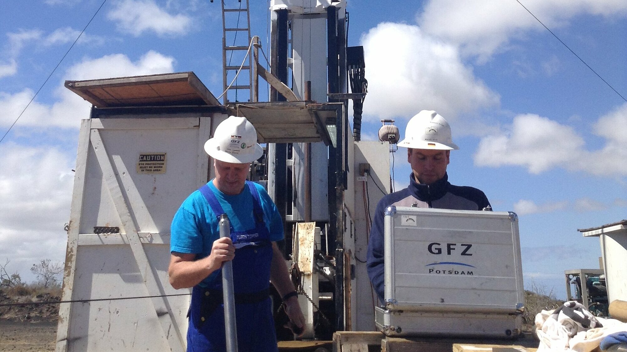


- OSG Logging Team checking tools
- Krafla
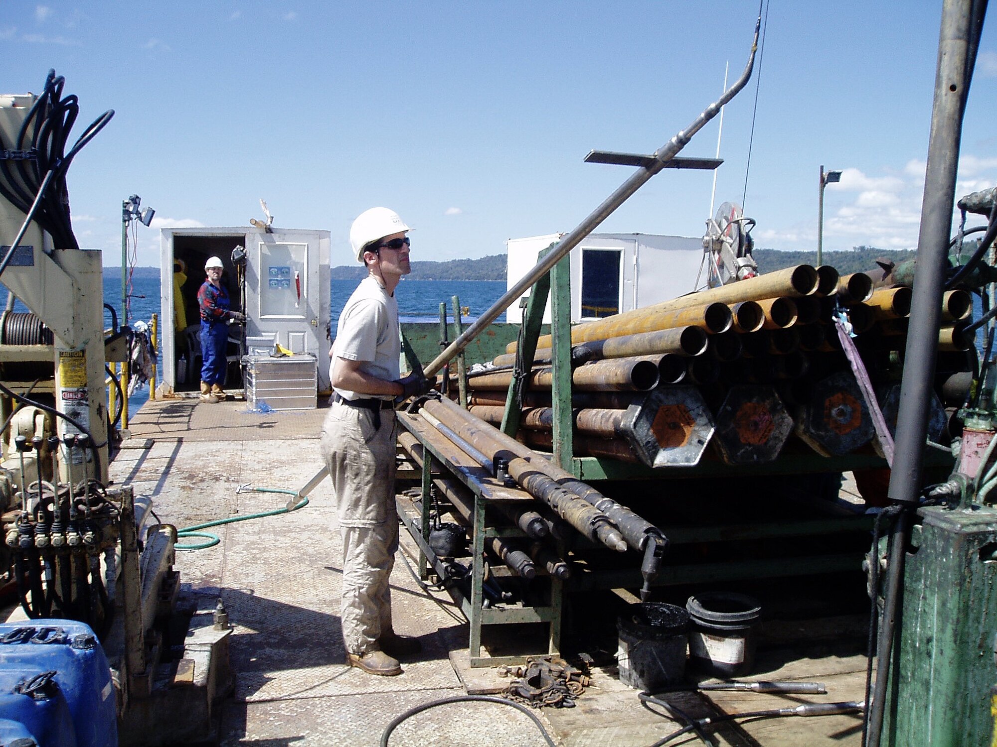
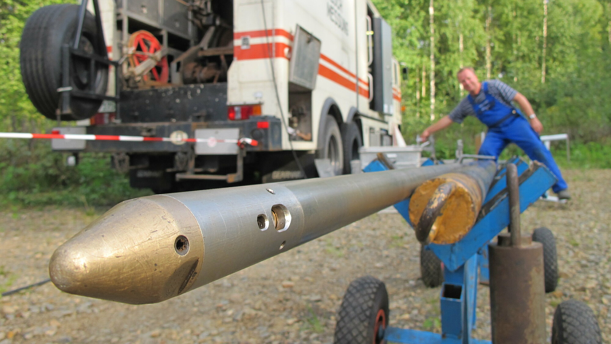
- Logging truck
- xxxx
- Rods and Sondes Elgy
- COSC foggy
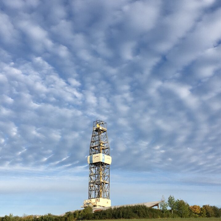
- KTB-HB
- Matx MW2000
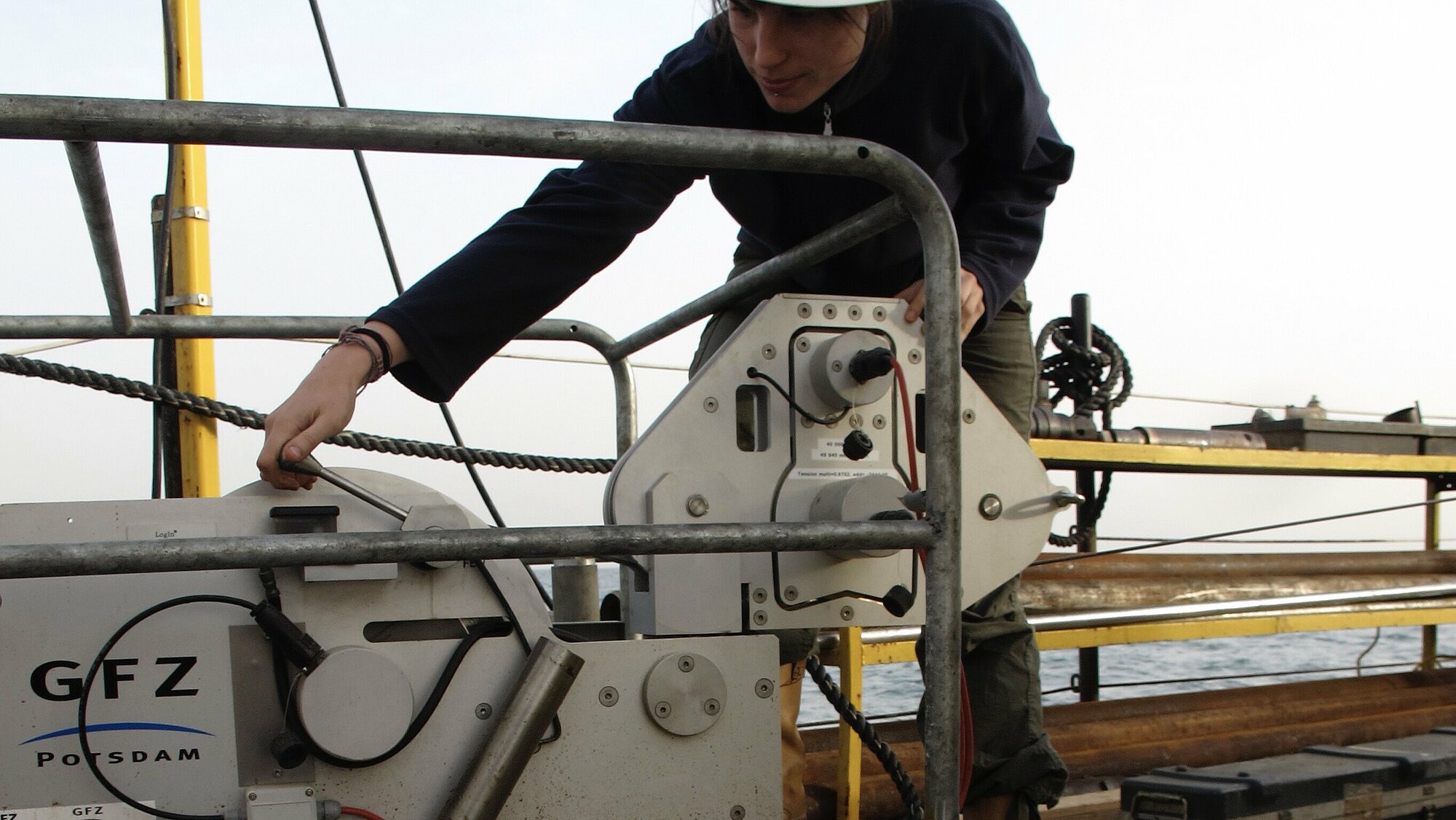
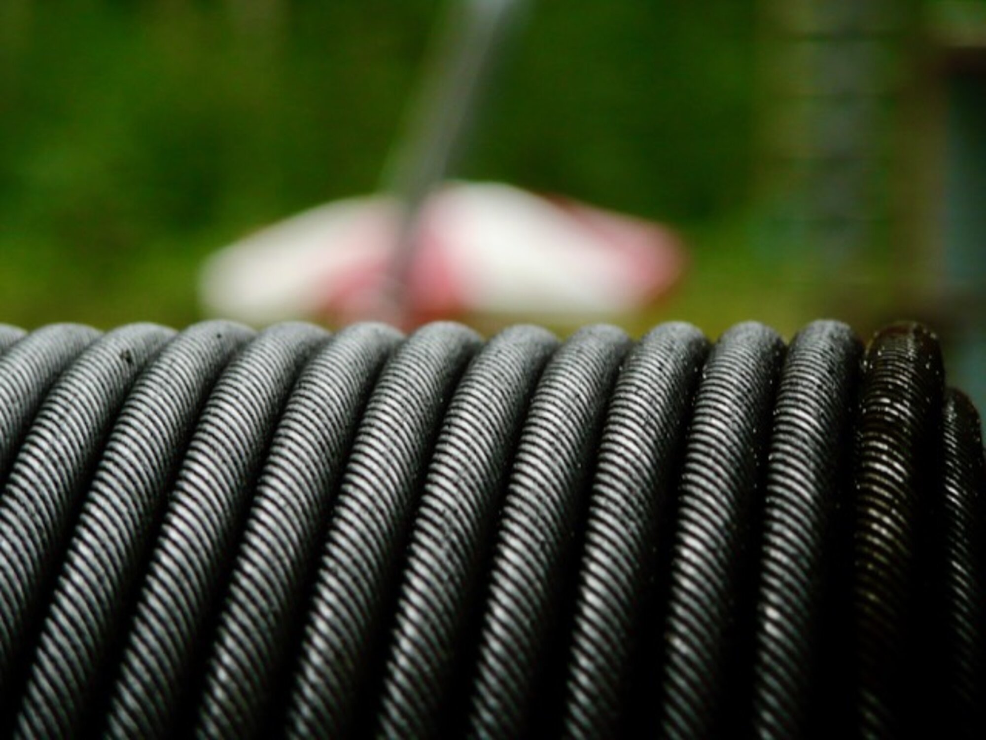
- Check of geophone chain
- Cable
- Tripod Marco Martin
- Elgy
- Borehole Seismics
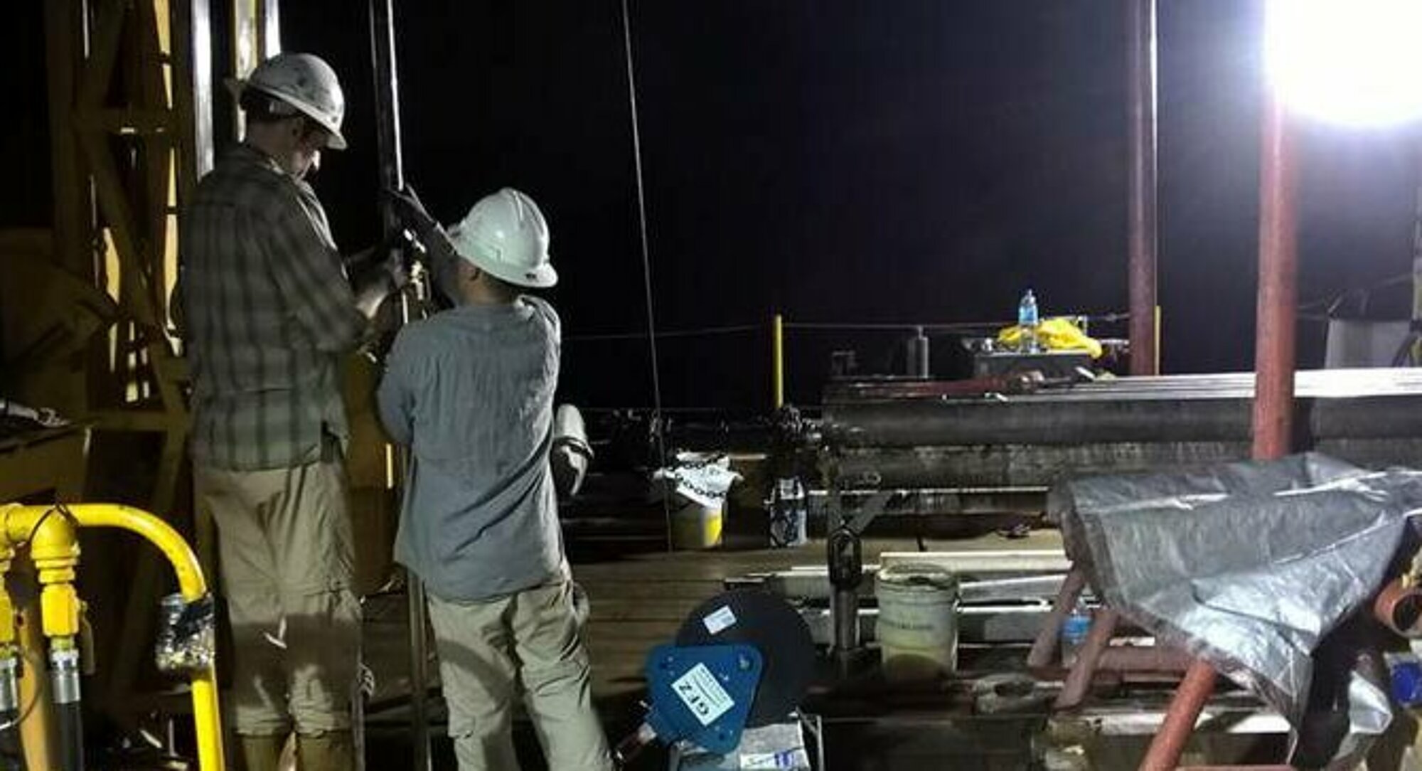
- Challa Night Logging
- SPWD
- FS Martin
- Magadi
- DIVE night logging
- H3 lake logging
- ABI view down the hole
- MRI Micro Resitvity Imager iedda TC1 2024
Consulting
OSG offers logging service for ICDP projects. OSG logging can complement any other logging program or form the entire downhole logging of a project. Costs are minimal and comprise only very low tool utilization costs and travel/transport costs of personnel and equipment. No depth or measurement charges and no personnel costs are imposed but these are borne by overall ICDP funds. The low costs enable downhole logging even for ICDP projects with a low budget.
OSG logging services must be performed in accordance with icdp-OSG Health & Safety regulations.
Our equipment
Based on the most frequent requirements of ICDP projects we established ICDP downhole logging equipment with slimhole sondes and suitable logging winches. The tool specifications allow utilization in various hole conditions. ICDP also operates logging tools and winch systems owned by GFZ Potsdam.
OSG cannot and will not compete with commercial logging service providers. OSG recommends the use of commercial services if these provide higher resolution and/or quality and if the project budget allows.
Logging contract
A logging contract addresses the duties, rights and non-liabilities of OSG and the PIs. A pre-operation checklist identifies the conditions for downhole logging in the planned new project and is filled out by the PI(s). Availability of OSG services is handled on a first-come-first-serve basis. As there is only one OSG logging team a delay in a preceding project potentially may cause schedule conflicts with the following project. ICDP tries to avoid conflicts by scheduling only two or three projects per year, several months apart.
The borehole data measured by the OSG/GFZ is made available only to the members of the science team via the GFZ data server shortly after drilling only to the members of the science team and then to the public after the moratorium has expired, also to the public.


Planning, Design & Management
We help PI's of ICDP projects to develop and optimize a downhole logging plan for the individual scientific targets and conditions of their project. Our extent of help depends on the requests of the PI's. It can range from just providing information on time and availability for logging methods to the creation of an entire logging plan. The close in-house cooperation with our other OSG experts (drilling, core handling and data management) assures smooth and optimized operations. If desired, we can also assist in the management of logging activities.
Our participation in downhole logging operations is not mandatory. OSG consulting is free of charge for ICDP projects but any travel costs incurred will be charged to the project.
As a first overview, the diagram can help you to decide which log types are suitable for your specific project goals. We are happy to help you develop a customized logging plan.
Logging Time / Cost Calculator
The OSG logging time and costs scheduler can be used to get a very first overview of the required logging time and costs. It is an MS Excel sheet that easily allows to assess the time frame necessary to carry out the desired logs by OSG.
Further it gives a first rough number on the expected costs for the complete OSG logging operations, including transport, travel and personnel costs. It excludes rig time costs, i.e. costs that arise during stand-by of the drilling rig, the drilling crew and associated companies as these items strongly vary in different projects.
OSG Logging Time & Cost Calculator
Logging check list
For a reliable and more precise estimation of logging time and costs please contact us. It is helpful to send the filled out MS Excel sheet. At this later stage, more detailed information about the desired logging parameters are required. In case the project is already in an advanced state it is very helpful to fill out our check list as best as possible.


The OSG downhole logging team are:
Jochem Kück (head of the logging team)
Martin Töpfer (logging technician)
Marco Groh (logging engineer)
Simona Pierdominici (logging data evaluation)
Wilhelmine Klamt (logger and master student 2024/25)
Former members were:
Karl Bohn, Christian Carnein, Miel Kühr, Matxalen Rey
Logging Infrastructure


.")
 of the iMLS memory logging sondes.")


")

 to a transfer flask (right), which can then be taken to a lab for analyses.")


Our downhole instruments infrastructure is optimized for slimhole conditions but can be used in wider boreholes with some limitations.
We utilize slimhole logging sondes (mostly < 52 mm, the MRI with 61 mm) that cover the basic geophysical logging parameters, see photos below. The majority are wireline sondes, with online data transmission operated on a special logging cable. A small set of four sondes can be used in an autonomous memory mode, typically together with a drill string in what is called logging while tripping out the drill string. This operation mode is recommendable in very unstable formations, which frequently occur in lake drillings, or in highly deviated boreholes (> 55°).
The minimum temperature rating of the wireline logging tools is 150 °C, except for the acoustic and electric imager (125 °C).
The memory tools are rated 70 °C/50 MPa. No special logging cable and winch is required. However, these sondes can alternatively be run online in wireline mode, like a regular wireline logging sonde.
For borehole seismics we provide service with two geophone systems, the SlimWave Geophone Chain (Sercel) and the GeochainSlim (Avalon Sciences, ASL), see photos below. Both sytems currently feature a maximum number of 7 levels each with 3-component 15 Hz geophones (not oriented). The spacing between levels is 10 m for the SlimWave and is variable for the GeochainSlim. The chains can be combined with a total natural GR. The temperature/pressure ratings are, for SERCEL SlimWave: 135 °C/100 MPa (short-time 150 °C), for ASL GeochainSlim: 195 °C/140 MPa. Connection via GO7 cable head.
The OSG downhole fluid sampler tool (see photos below) is a positive displacement type (PDS) that provides a very controlled, slow sampling procedure without sudden decompression and thus without degassing, even at very high borehole fluid pressure. Thus, it also prevents decomposition of microbial DNA. It takes one sample (0.6 liter) at a time. It is run as stand-alone tool but can be combined with the OSG slimhole fluid parameter sonde to allow accurate positioning inside the flow zone. The temperature rating is 180 °C/100 MPa.
Most tools can be used in boreholes as small as 96 mm (typical HQ) and even in 76 mm holes (NQ) if wellbore stability permits. The maximum borehole size differs for each tool. These tools are best run on one of our special slimhole logging winches but can also be run on any logging winch system with at least a 4-conductor cable.
Please note: OSG does not operate tools with nuclear sources!
Wireline sondes:
- electrical resistivity (conductive, DLL)
- sonic velocity (T-R1-R2)
- natural gamma spectrum (full spectrum)
- total natural gamma
- borehole geometry and orientation (oriented 4-arm caliper)
- borehole images (acoustic ABI and electric MRI)
- magnetic field (triaxial magnetometers inside caliper, MRI and ABI)
- magnetic susceptibility
- fluid parameters (temperature, pressure, resistivity)
- spontaneous potential (standalone analog tool)
- fluid samples (PDS type sampler)
- seismic (borehole geophone chains, triaxial, up to 7 levels)
Memory sondes:
- electrical resistivity (inductive, DIL)
- sonic velocity (T1-R1-R2-T2)
- natural gamma spectrum (full spectrum)
- total natural gamma
- magnetic susceptibility
Sonde Specifications (PDF)
Find more details about the memory logging system here.
OSG slim micro resistivity imager (MRI) features 64/176 electrode buttons and is rated 125 °C/50 MPa with a tool diameter of 61 mm.
All sondes are available as logging service only, i.e. operated by experienced GFZ personnel, under the terms of the OSG downhole logging service conditions.
 shown here mounted in the multi-purpose logging container CWX.")
.")
.")

- MW2000 2200 m, 4-conductor cable, for lightweight slimhole sondes only
- MW600 720 m, 4-conductor cable, for lightweight slimhole sondes only
- MW250 300 m, 4-conductor cable, for lightweight slimhole sondes only
- CW7000 7300 m, 7-conductor cable, heavy duty winch
The small MW logging winches are best for shallow to moderate depths. Depths larger than approximately 2000 m and/or heavy sondes can be handled using the heavy duty, containerized CW7000 logging winch unit.
Please find details in the Winch Specifications (PDF)
All winches are available as logging service only, i.e. operated by experienced GFZ personnel, under the terms of the OSG downhole logging service conditions.
.")
.")
")

")
.")
.")
.")
Most of our logging sondes are operated with the data acquisition software Geobase of the sonde manufacturer Antares. The acoustic imager ABI43 is run with the SCOUT system of the imager manufacturer ALT. These very small and lightweight data acquisition systems GEOBASE and SCOUT both consist just of a laptop and a hand portable tool interface panel.
The Antares sondes deliver original raw logging data in the RLF-format that can be read with the Geobase software only. Output is possible in ASCII and DLIS. The SCOUT system delivers data in the TFD format and via the ALT-made WellCAD software an output in DLIS is possible.
The 7-level SlimWave geophone chain is operated with Sercel WaveControl/ToolsPilot. The 7-level GEOCHAIN from Avalon Sciences is operated by ASL GPP and GSP-1 with Acquisition Suite and Processing Software.
We mainly utilize the WellCAD (ALT) software for data processing and some special modules of Geobase. WellCAD generates its own plot file formats. These can be viewed with WellCAD Data Viewer, which can be downloaded free of charge. Data output file formats are ASCII, LAS and DLIS.


We manage and operate the KTB Deep Lab of the GFZ (KTB-TL) in Bavaria, southern Germany. KTB was the German Continental Deep Drilling Program, actively drilling between 1987 and 1994. Today, the KTB site with its two closely spaced boreholes (4000 m & 9100 m) is used as a deep laboratory with a complete borehole logging infrastructure, including a workshop for wireline borehole logging. The KTB site allows in-situ high-temperature/pressure testing of logging and downhole monitoring equipment and even long-term testing at low cost. Please click here for more information.
Data measured during the active KTB drilling phase 1987-1994 can be obtained here.
For data measured in the two KTB boreholes since 1996 please contact us here.
Find the KTB-Deep Lab on Google Maps.
For other ICDP equipment please see SUPPORT -> OTHER ICDP EQUIPMENT
For external logging equipment from partners please see SUPPORT -> PARTNER EQUIPMENT
Logging Data Evaluation
OSG offers downhole logging data evaluation for ICDP projects. This includes data processing, analysis and interpretation of the entire suite of downhole logging parameters acquired or on only selected data sets. The evaluation will always happen in coordination with the project PIs and the project science team. ICDP's participation in downhole logging data evaluation is free of charge for ICDP projects but is not mandatory. Scientific collaboration in publications is desirable.
OSG/GFZ measured downhole logging data will be made available to science team members through the GFZ data server soon after the logging operations and to the public at the end of the moratorium period.
.")
 and the lab-derived anisotropy-depth profile (color shading indicates zones of different anisotropy, modified from Kästner et al., 2020).")
- Sonic p- and s-wave velocity (figure A)
- Elastic moduli
- Anisotropy (figure B)
- Porosity
- Permeability
- Fluid content
- Mineralization, alteration
- Compaction
- Identification of e.g. clay intervals, igneous layers and organic matter
.")

- Lithological classification, interpretation and stratigraphic correlation
- Electrofacies (figure A)
- Identification of stratigraphic elements like conglomerates, boundaries and internal structuring of lava flows using acoustic image log
- Identification of compaction zones
- Lake cyclo-stratigraphic analysis
- Lake deposition environments
- Lake age-depth model from downhole logging data
.")
.")
- Present-day stress field analysis from borehole breakouts and drilling induced tensile fractures (figure A)
- Spatial orientation (dip and dip azimuth), distribution and frequency of planar structures intersecting the borehole wall like bedding planes, foliation, folding, faults, and fractures (figure B)
- Differentiation between closed and open faults/fractures and determination of their opening width
 and downhole logs from three boreholes in a lake drilling project (modified from Hatfield et al., 2020).")

.")
- Depth matching core to downhole log (figure A)
- Spatial orientation of cores by comparison of image logs with cores or core scans (figure B)
- Integration of downhole logging data, core data, and seismic data (core-log integration and core-log-seismic integration) (figure C)
- The GFZ/KTB developed software CREOS is used for a semi-automatic matching of sine structures viewed both on cores and in image logs for spatial core orientation purpose. Ask us for more information about CREOS.


- Borehole geometry: size, orientation and trajectory
- Temperature profile analysis (figure A)
- Recognition of artifacts on borehole images (figure B)
- Casing inspection (figure C)
- Overburden stress
Core-log-seismic integration in metamorphic rocks and its implication for the regional geology: A case study for the ICDP drilling project COSC-1, Sweden. Elger, J., Berndt, C., Kästner, F., Pierdominici, S., Kück, J., Almqvist, B.S.G., Juhlin, C., Lorenz, H (2021). Geochemistry, Geophysics, Geosystems, 22, e2020GC009376, https://doi.org/10.1029/2020GC009376
Stratigraphic correlation and splice generation for sediments recovered from a large-lake drilling project: an example from Lake Junín, Peru, Hatfield, R.G., Woods, A., Lehmann, S.B., Weidhaas, N., Chen, C.Y., Kück, J., Pierdominici, S., Stoner, J.S., Abbott, M.B., Rodbell, D.T. (2020). J. of Paleolimnology, 63(1), 83-100, https://doi.org/10.1007/s10933-019-00098-w
Understanding volcanic facies in the subsurface: A combined core, wireline logging and image log data-set from the PTA2 and KMA1 boreholes, Big Island, Hawai'i. Jerram, D.A., Millett, J.M., Kück, J., Thomas, D., Planke S., Haskins E., Lautze N., Pierdominici S. (2019). Scientific Drilling, 25, 15–33, https://doi.org/10.5194/sd-25-15-2019
Correlation of core and downhole seismic velocities in high-pressure metamorphic rocks: A case study for the COSC-1 borehole, Sweden. Kästner, F., Pierdominici, S., Elger, J., Zappone, A., Kück, J., Berndt C. (2020). Solid Earth, 11(2), 607-626. https://doi.org/10.5194/se-11-607-2020
Downhole Logging, in: ICDP Primer - Planning, Managing, and Executing Continental Scientific Drilling Projects, Fifth Edition October 2021, Harms, U. (ed. 2021), Kück, J. Pierdominici, S. (2021), Chapter 4.6, pp 127-151, GFZ German Research Centre for Geosciences, doi.org/10.48440/icdp.2021.001
Borehole Geophysics. Book chapter in Encyclopedia of Geology, 2nd edition, Pierdominici, S., Kück J. (2021). editors in chief: Scott Elias David Alderton, Elsevier, doi.org/10.1016/B978-0-08-102908-4.00126-0
Stress field interactions between overlapping shield volcanoes: borehole breakout evidence from the Island of Hawai´i, USA. Pierdominici, S., Millett, J.M., Kück, J.K.M., Thomas, D., Jerram, D.A., Planke, S., Haskins, E., Lautze, N., Galland, O. (2020). JGR,125, e2020JB019768, https://doi.org/10.1029/2020JB019768
Past Campaigns
Past Campaigns Timeline
HOTSPOT, Kimberley & Kimama, Idaho
PISDP Lake Petén Itzá, Guatemala
Past Campaigns List
in chronological order
- DIVE 3rd, Megolo, Italy, 2024-AUG
- DIVE 2nd, Ornavasso, Italy, 2022-DEC
- DIVE 1st, Ornavasso, Italy, 2022-NOV
- COSC-2 FS & ABI, Järpen, Sweden, 2022-MAY
- COSC-2 Borehole Seismic, Järpen, Sweden, 2021-SEP/OCT
- COSC-2 Logging, Järpen, Sweden, 2020-SEP
- OUTO, Outokumpu, Finland, 2019-JUN/JUL
- SUSTAIN, Surtsey, Iceland, 2017-AUG
- DeepChalla, Lake Challa, Kenya, 2016-NOV
- Lake Junín DP, Lake Junín, Perú, 2015-JUL/AUG
- COSC-1 Logging & Seismics, Åre, Sweden, 2014-SEP/OCT
- HSPDP, Magadi, Kenya, 2014-JUL
- HSPDP, Turkana, Kenya, 2013-JUL
- HSPDP, Baringo, Kenya, 2013-JUN
- GONAF, Tuzla, Turkey, 2012-OCT
- HOTSPOT, Mountain Home, Idaho, USA, 2012-JAN
- OUTO, Outokumpu, Finland, 2011-AUG
- HOTSPOT, Kimberley & Kimama, Idaho, USA, 2011-JUN/JUL
- DSDP, Dead Sea, Israel, 2011-MAR
- DSDP, Dead Sea, Israel, 2010-DEC
- EDP, Lake Elgygytgyn, Russia, 2009-MAR/APR
- OUTO, Outokumpu, Finland, 2008-SEP
- OUTO, Outokumpu, Finland, 2006-SEP
- DAFSAM, Tau Tona Mine, South Africa, 2006-AUG
- OUTO, Outokumpu, Finland, 2006-APR/MAY
- OUTO, Outokumpu, Finland, 2006-APR
- PISDP Lake Petén Itzá, Guatemala, 2006-FEB
- HSDP, Hawaii, USA, 2005-APR
- LMDP, Lake Malawi, Malawi, 2005-MAR
- BCDP, Lake Bosumtwi, Ghana, 2004-OCT
- BCDP, Lake Bosumtwi, Ghana, 2004-SEP
- TCDP, Taichung, Taiwan, 2004-AUG
- SAFOD, Parkfield, USA, 2004-JUL
- CCSD, Donghai, China, 2004-FEB
- HSDP, Hawaii, USA, 2002-NOV
- CRL, Aigion, Greece, SEP-2002-SEP
- CRL, Aigion, Greece, AUG-2002-AUG
- CCSD, Donghai, China, 2002-MAY
- CSDP, Yaxcopoil, Mexico, 2002-FEB
- CSDP, Yaxcopoil, Mexico, 2001-DEC
- USDP, Shimabara, Japan, 2001-SEP
- HSDP, Hawaii, USA, 1999-DEC
- HSDP, Hawaii, USA, 1999-JUL